1. Opening circle (10 min)
Big circle: How do you feel now, what happened to you during the last week?
2. What do they have in common? (10 min)
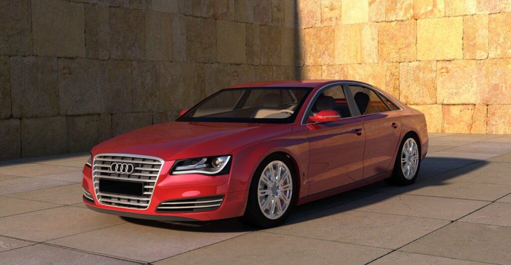
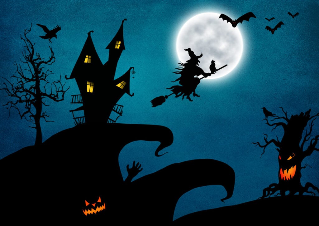
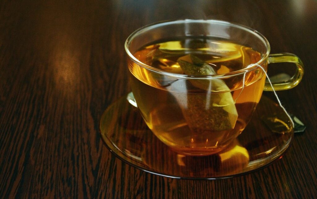
The participants form two groups. The facilitator chooses two pictures from Annex 1 randomly. The groups have to find something that the two things the picture show have in common (e.g. material, size, usage, where you can buy it, etc.) The group that is first to find something in common gets a point. But if they say something that is not true (e.g. they think soemthing is made of wood, but it isn’t), they lose a point.
3. Map varieties (20 min)
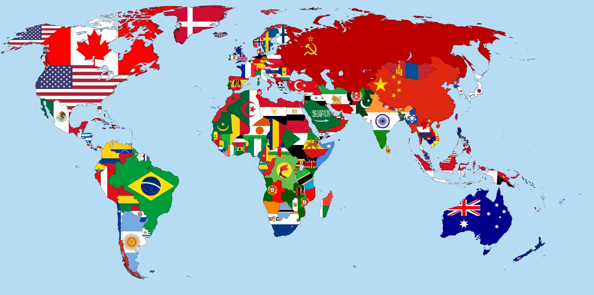
Participants work in three groups. Each group gets a different map (see Annex 2). First they discuss in a big circle the differences of the maps, the signs and colours that are typically used on maps, what we can find on a map and what would be unusual.
The groups try to find the answers to the questions in Annex 2 and present their answers to the others.
The groups find a locale closeby that is known by everybody and draw a map that show them the way to this place from the school. They do not tell the others what the locale is. The groups swap maps and try to find out what the other group’s map show.
If the students are old enough and the locale is close, they can leave the school to find the place.
4. Countries-towns (10 perc)
Participants work individually. They draw a table with 5 columns: country, town, famous people, animal, plant. The facilitator says a sound (e. g. M), the participants have 2-3 minutes (depending on their age and skills) to fill out the table with words starting with M, e.g. Morocco, Madrid, Mendel (Gregor), monkey, magnolia. If they know more than one, that means extra points. Each correct solution gets a point, whoever has the most, wins.
5. Closing circle (5 min)
What are you taking away from this workshop? What was the best/ most difficult?
Which school subject would you connect this workshop to?
Annex 1








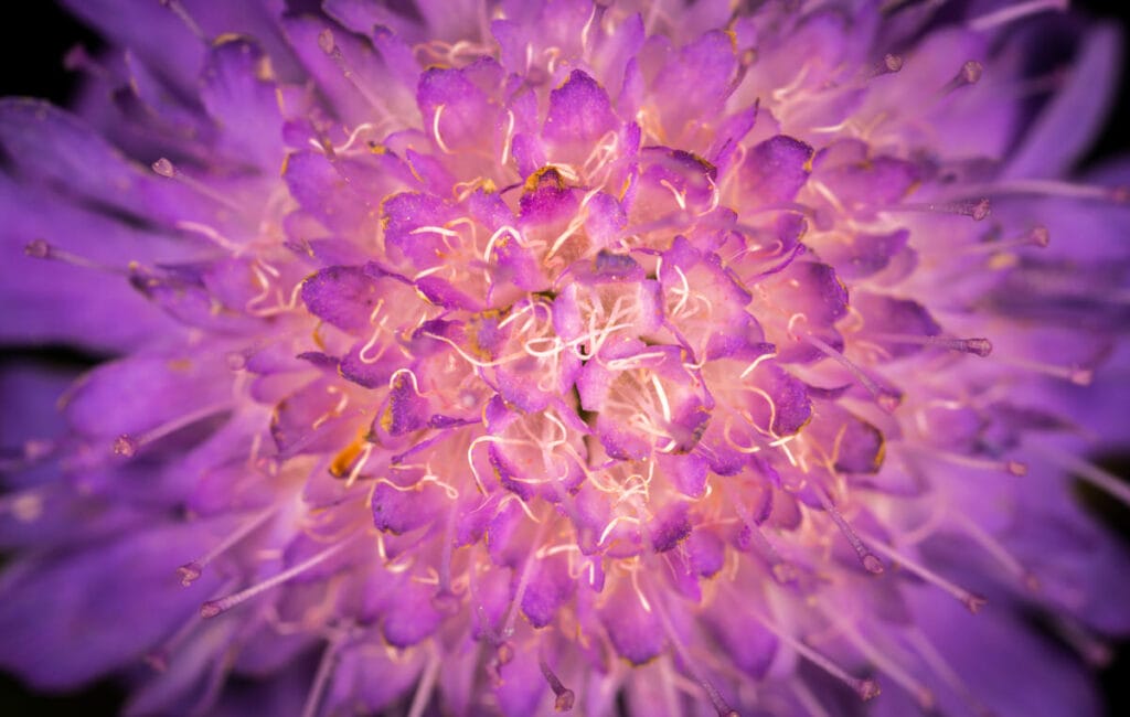

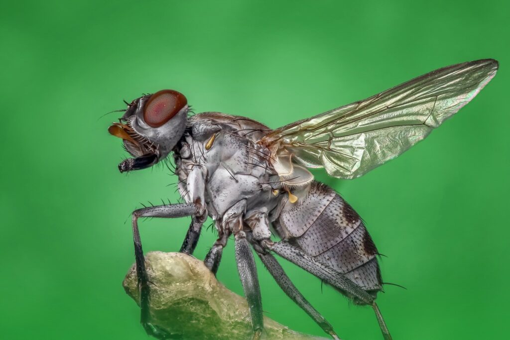


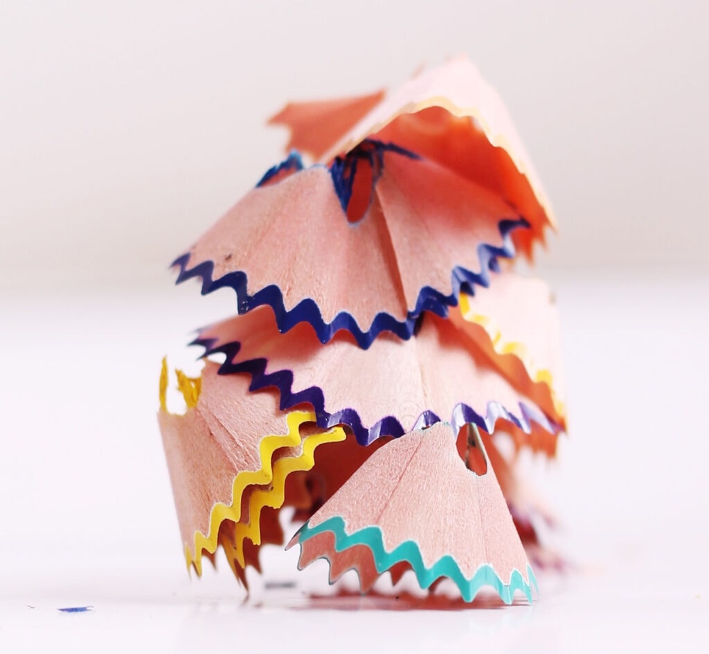
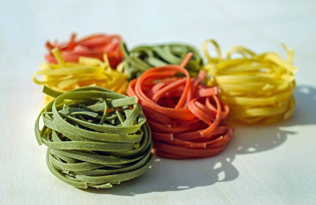
Annex 2
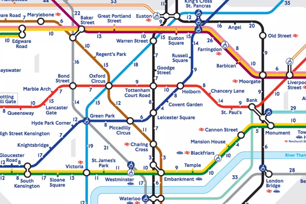
2. How can you get from South Kensigton to Oxford Circus?
3. How can you get from Blackfriars to Hyde Park Corner?

2. Name two ranges of mountains!
3. Name three towns by the seaside!
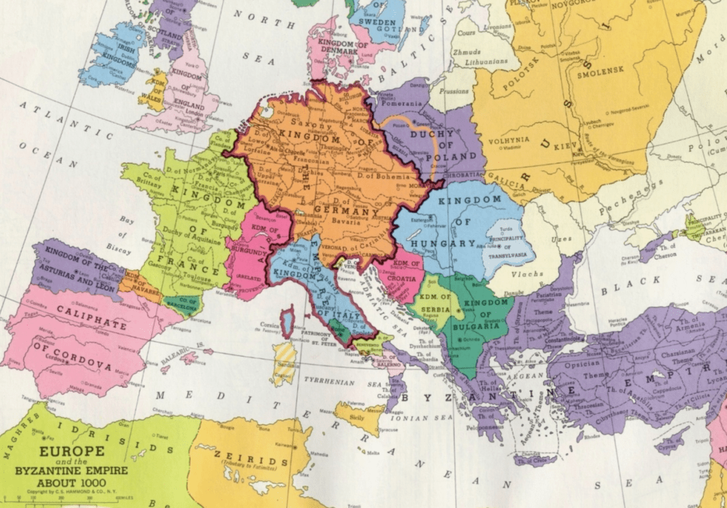
2. What was the place called where you live now?
3. Find three countries that have different names now!
